We deliver accurate, large-scale spatial data through advanced drone-based surveying, helping engineering teams plan, analyse, and execute projects with greater speed, precision, and confidence.
Enquire NowEngineering projects depend on precise and reliable data, but traditional surveying methods are often time-consuming, resource-intensive, and limited in coverage.
Delays in data collection and processing can impact planning accuracy, decision-making, and overall project timelines, especially across large or complex terrains.
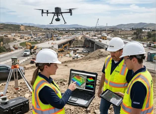
At HDSL, we provide high-accuracy aerial data capture and processing, enabling engineering teams to work with reliable insights across every stage of a project.

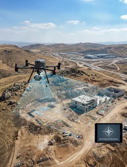
We use RTK-enabled drone systems to deliver centimetre-level precision for mapping and measurement across large project areas.

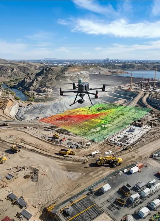
We generate orthomosaics, 3D models, and terrain datasets that support detailed analysis and engineering workflows.

Our data enables detailed elevation mapping, supporting better planning, grading, and site design decisions.

We provide accurate cut-and-fill calculations to support material estimation, planning, and cost control.

Our outputs are structured for seamless integration with standard engineering and GIS platforms.
Discover the perfect drone solution for your industry needs.
KNOW MORE


